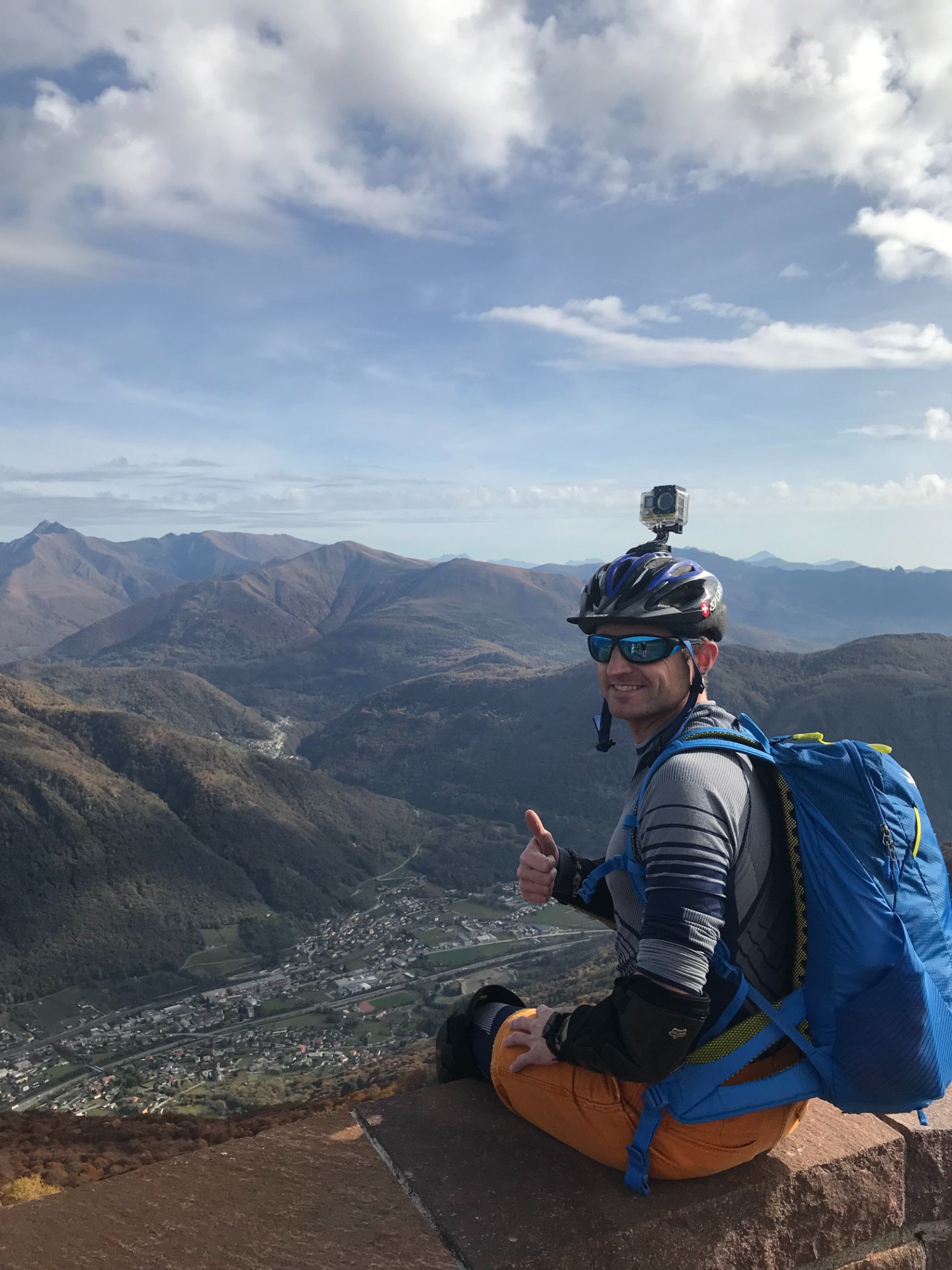
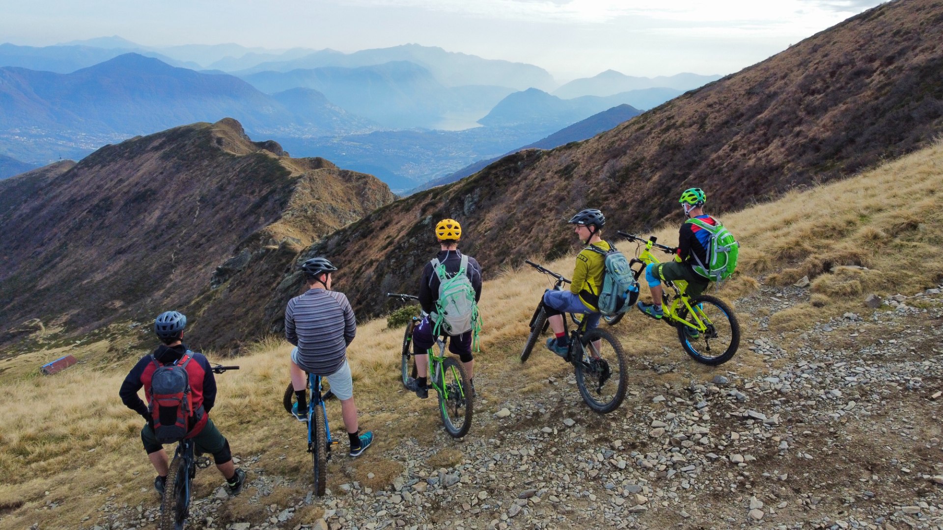
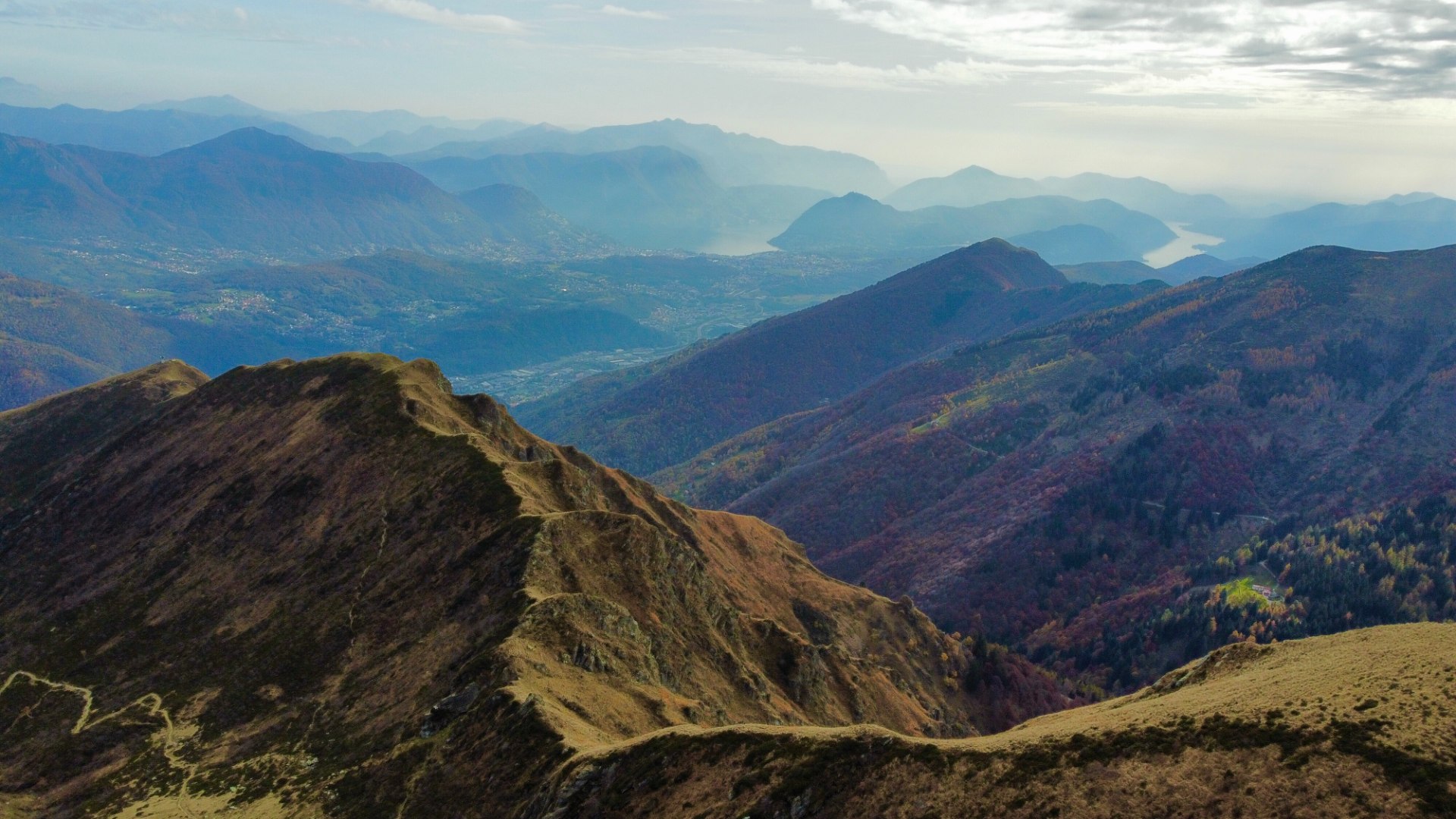
Trails description
Trail 1

Trail: Alpe Vicania – 25 km (route no 351) Mt Bre 15-25 km ( route no 356)

Height difference (elevation gain) – 852 m

Level: Easy / Average

Time: 4-6 hours

Transport: Bike
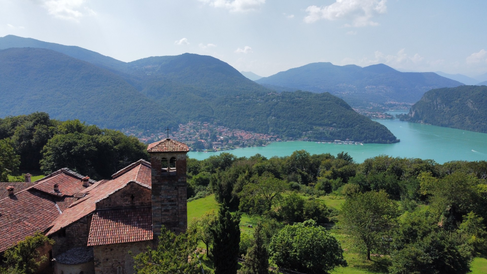
Alpe Vicania
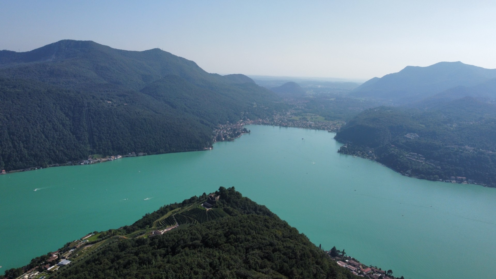
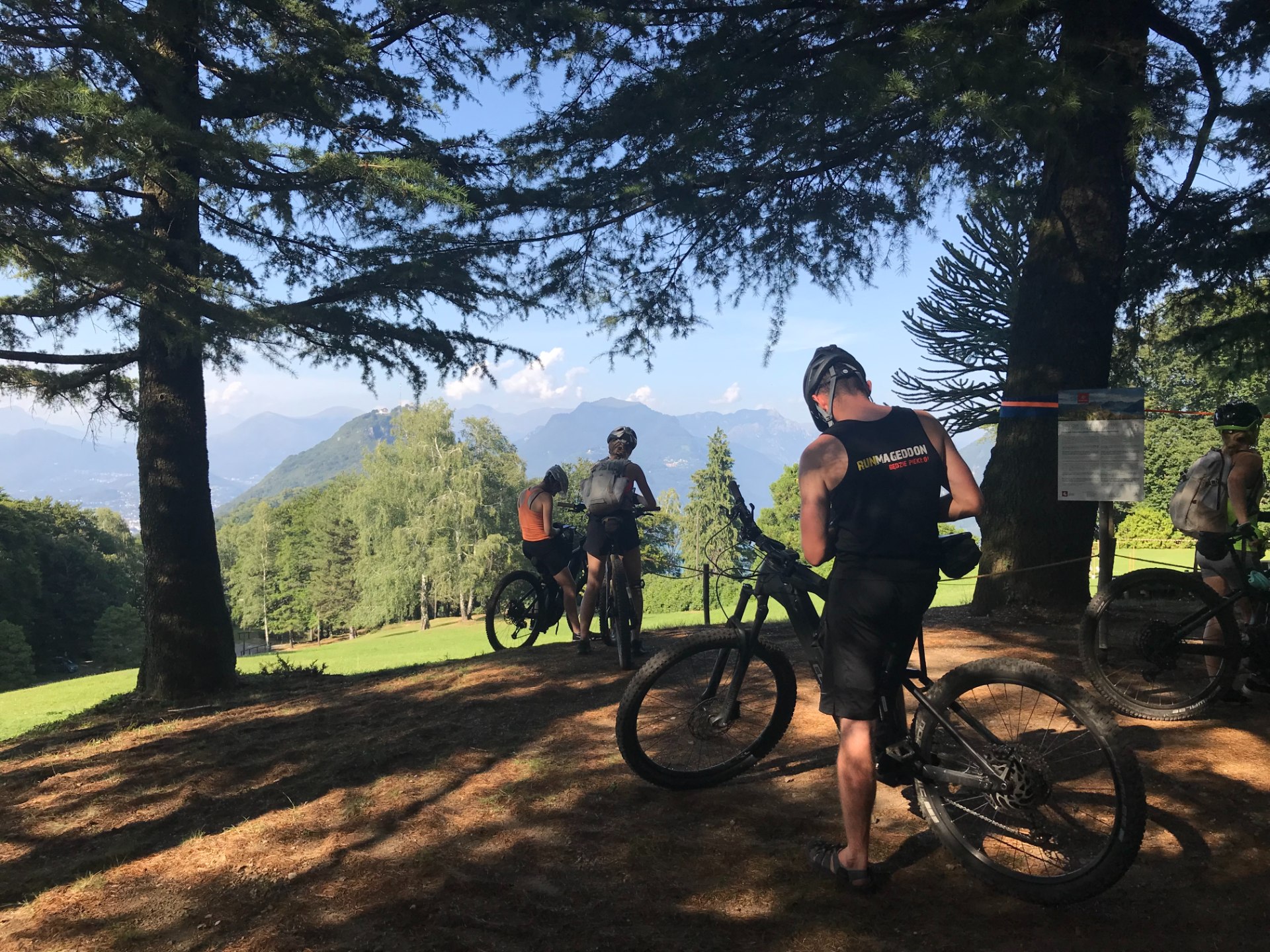
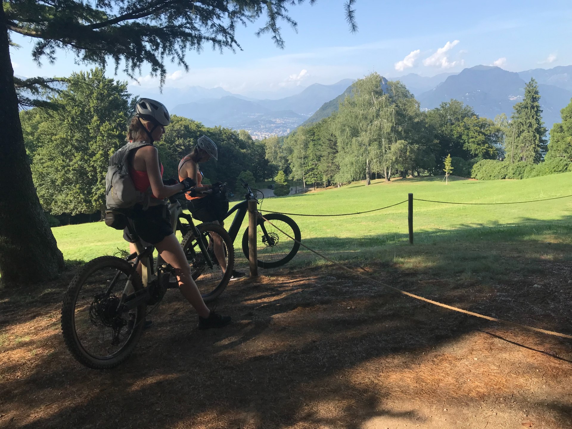
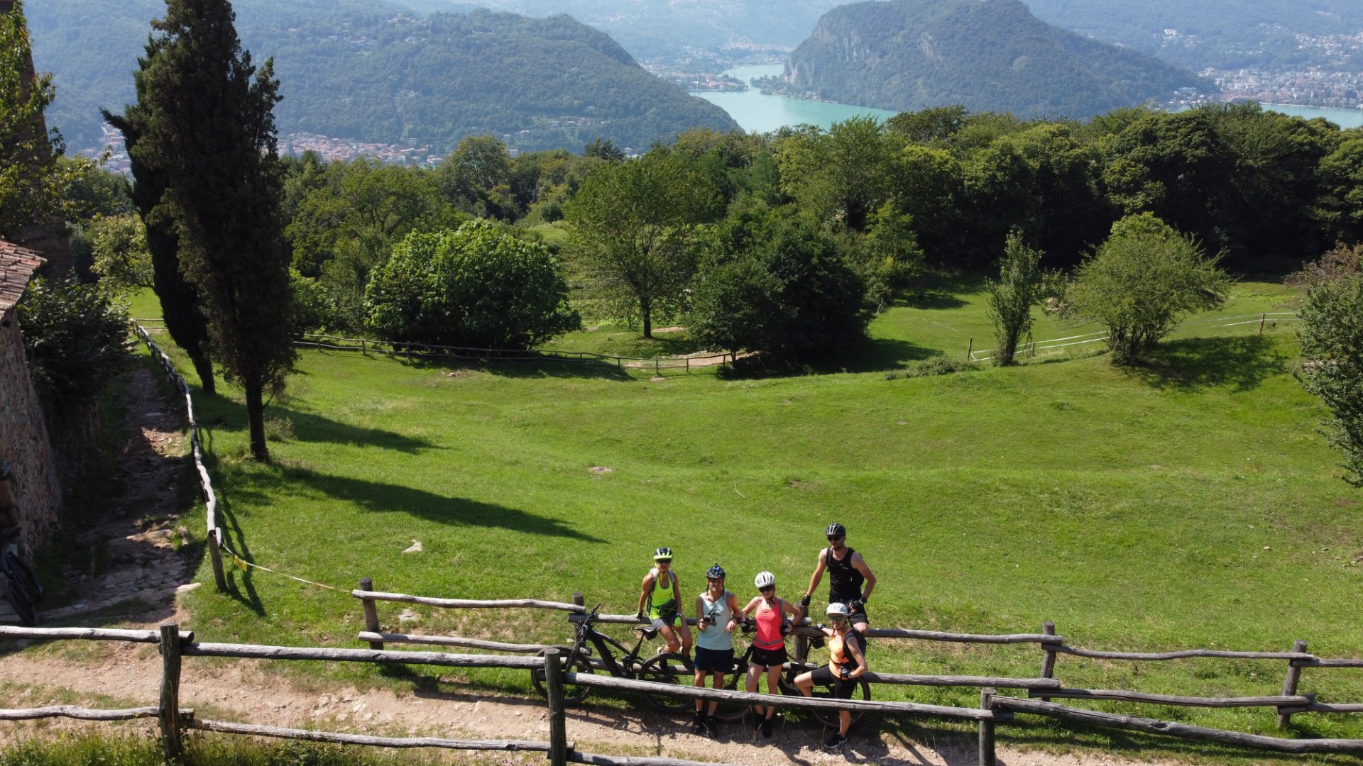
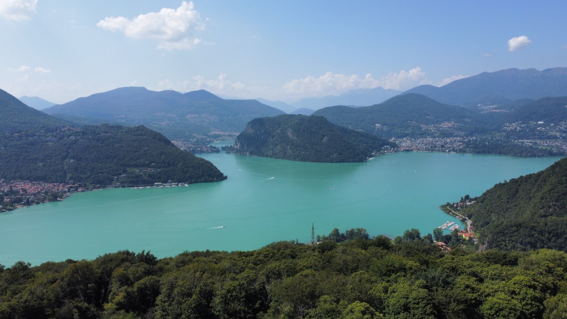
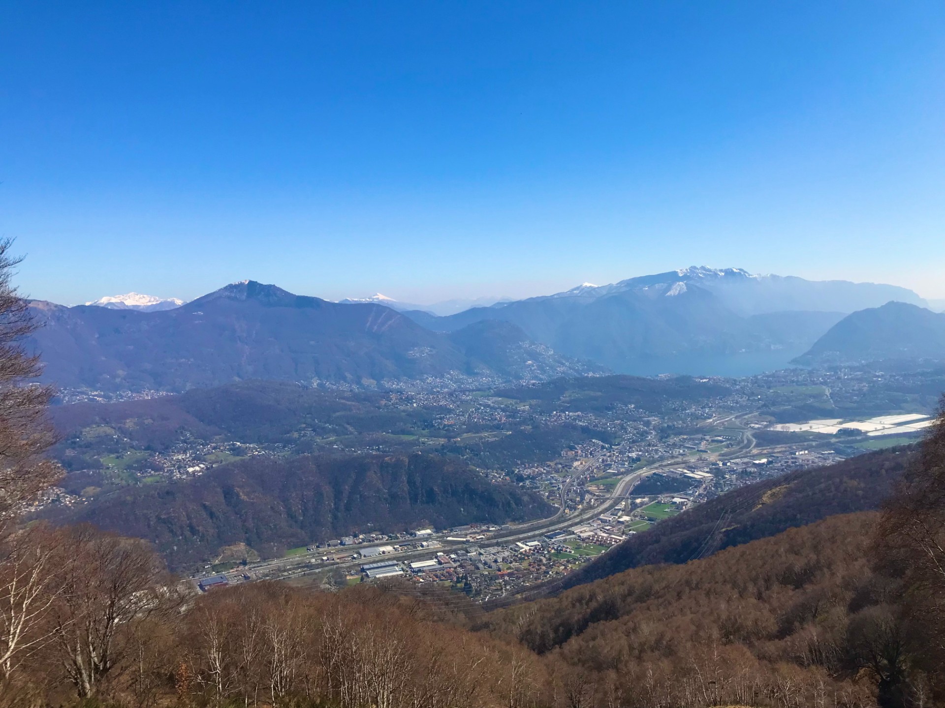
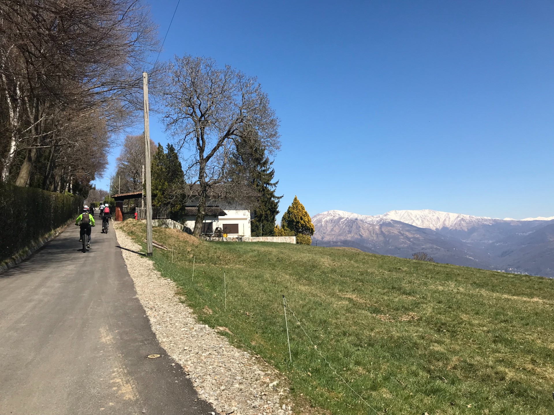
It is very panoramic route on the peninsula located to the South of Lugano.
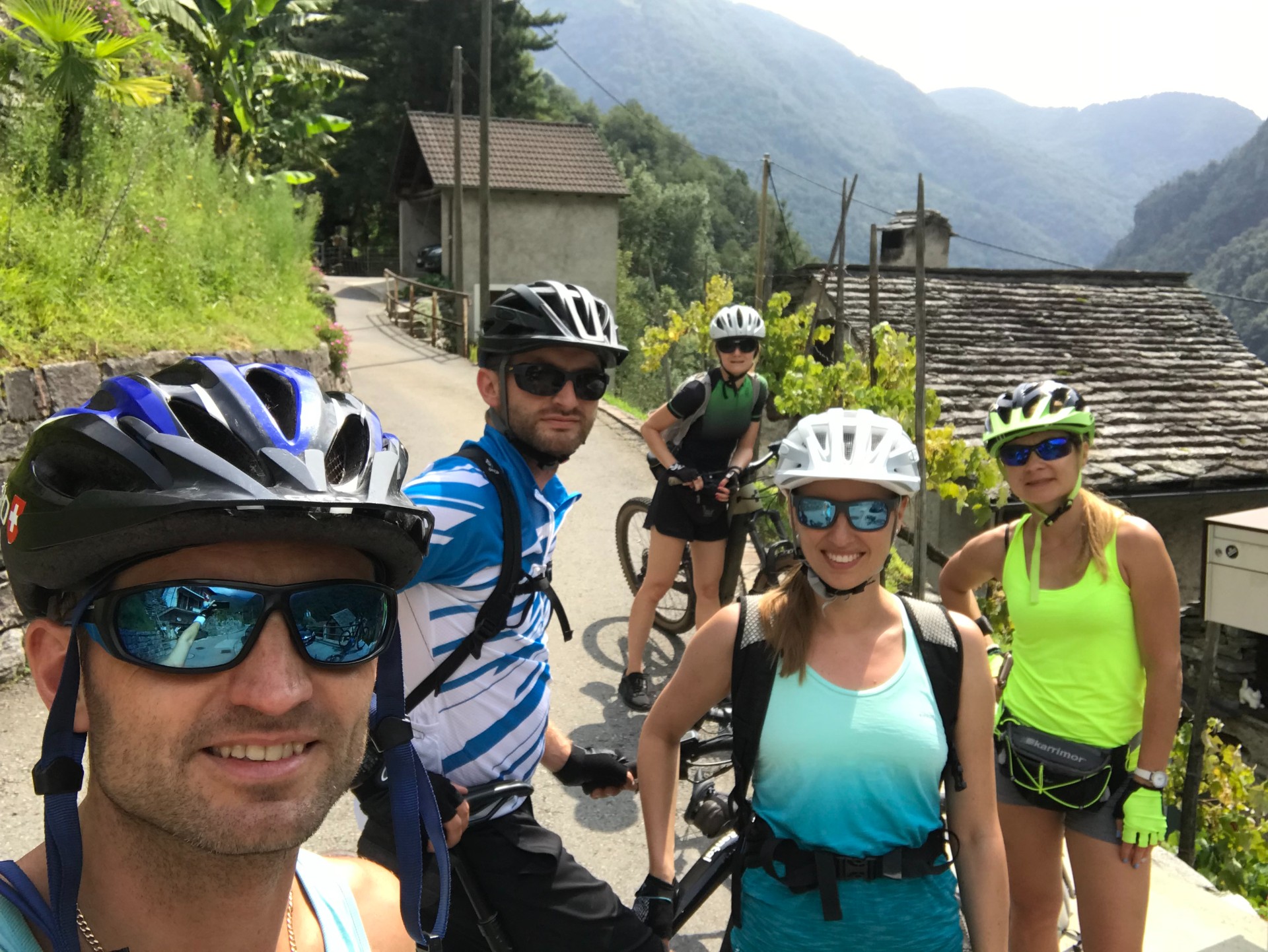
It starts in Paradiso from where we going to climb by serpentines which will lead us to small town of Carabbia – from where we going to enter quite thick old forest.
The South and East part of the peninsula have many viewing points allowing to admire both Italian and Swiss part of the mountains and small villages at the shores of Lake Lugano. Half way through we will reach the elevation of 850 m above sea level from where there is opportunity to visit beautiful botanical gardens - Parco San Grato.
After that we will have long fast and enjoyable downhill ride back to Paradiso.
Trail 2
Trail: Lugano - Monte Bre - Alpe Bolla 30km
Elevation gain: 1035 m
Level: Easy/medium
Time: 2-2.5 hours

Transport: Bike
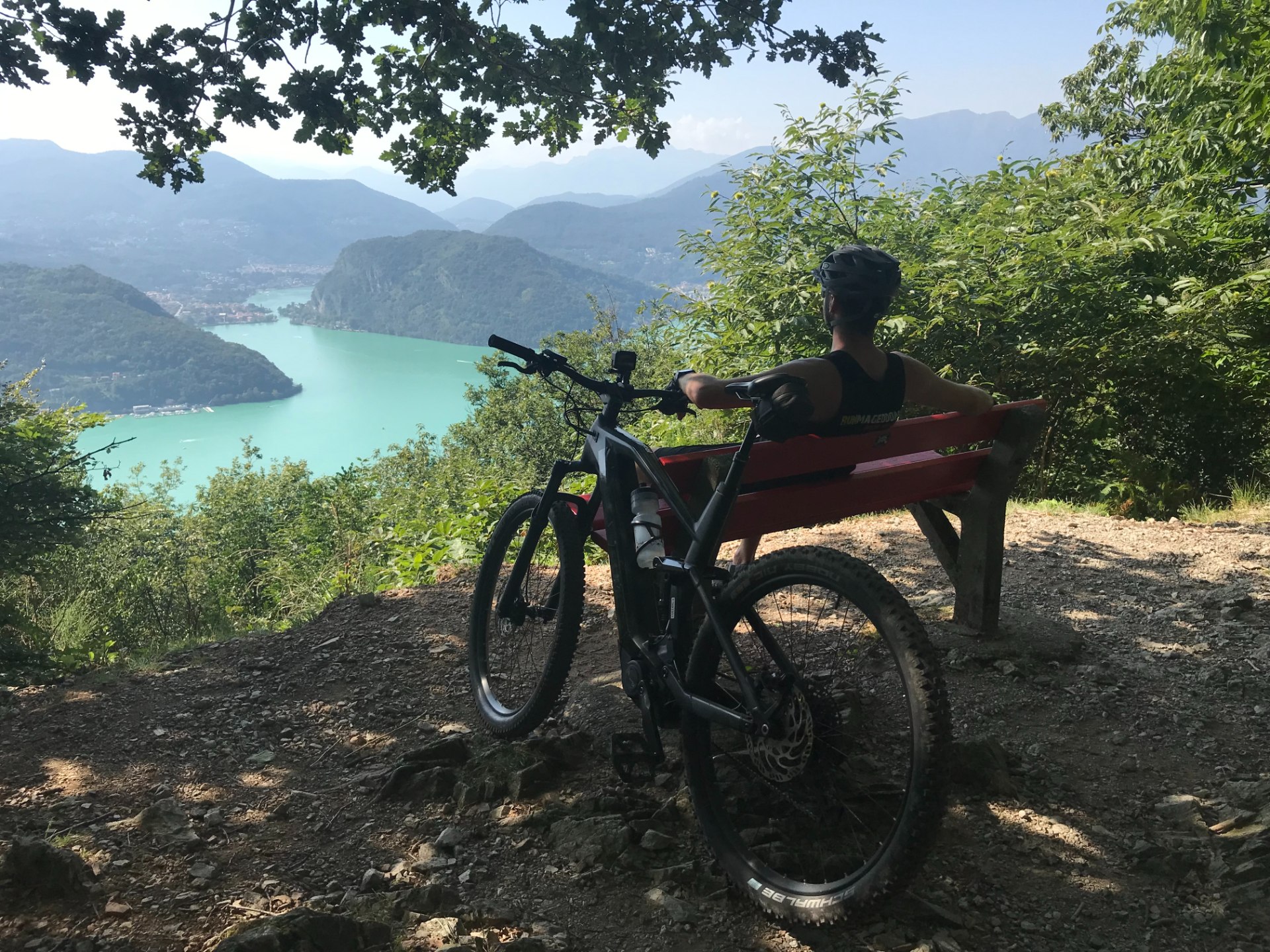
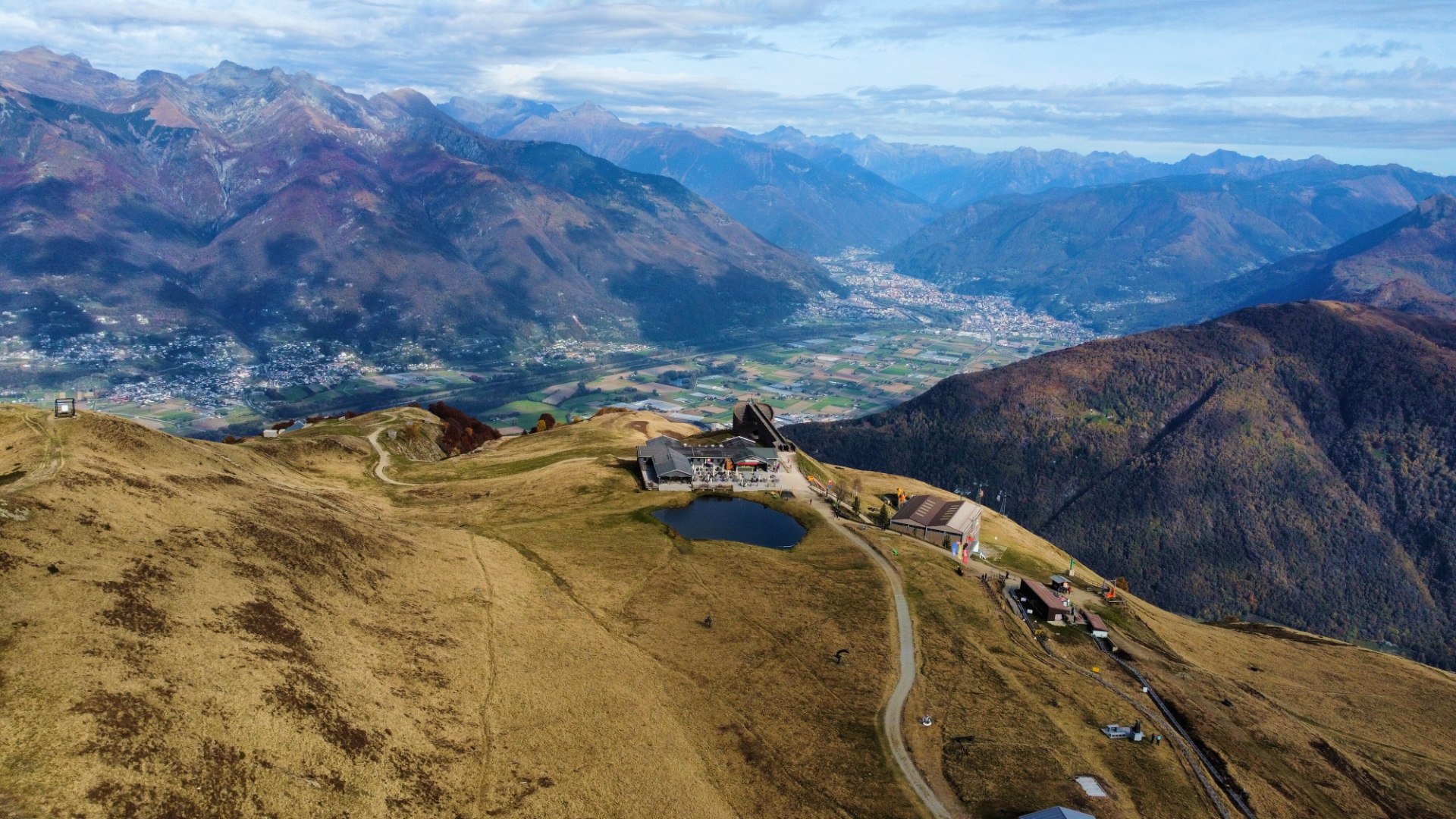
Lugano - Monte Bre - Alpe Bolla
We start this route in Paradiso – Lugano from where we will go to Monte Bre located north- east from the city. From the top there is breath-taking view of Swiss and Italian Alps. There is possibility of rest and some food plus drink in the local restaurant there before we continue our trip. For those who need to charge their bike batteries there are power points allowing to do so. Next we go on the single track in the forest of Monte Boglia and roughly after 45-60 min we will get to cosy mountain hut – Alpe Bolle – where we can order some local yummy cheese and meat boards. After that we will come back to Lugano by 13 km downhill road ;).
Trail 3
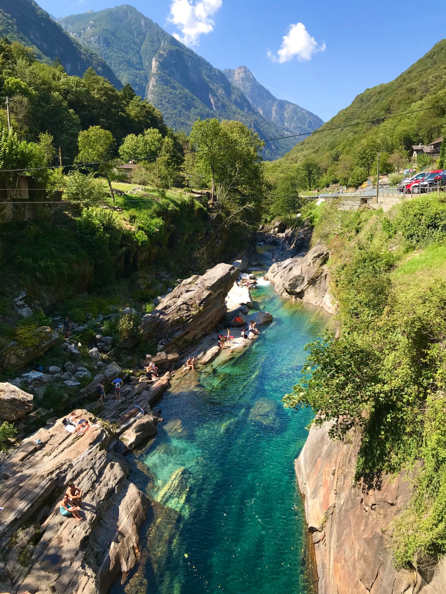
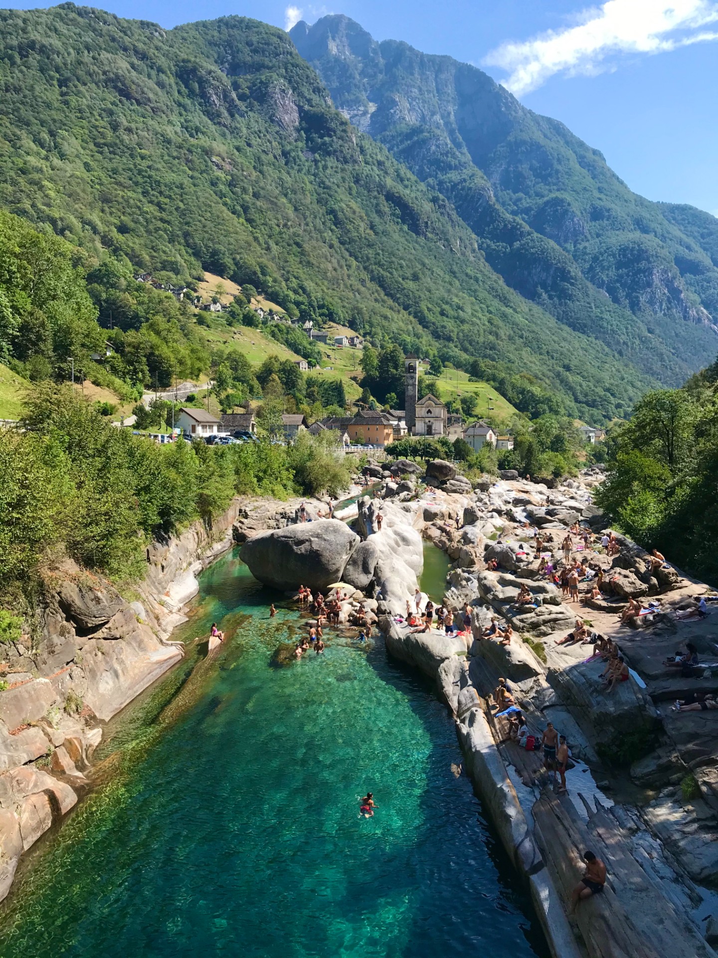
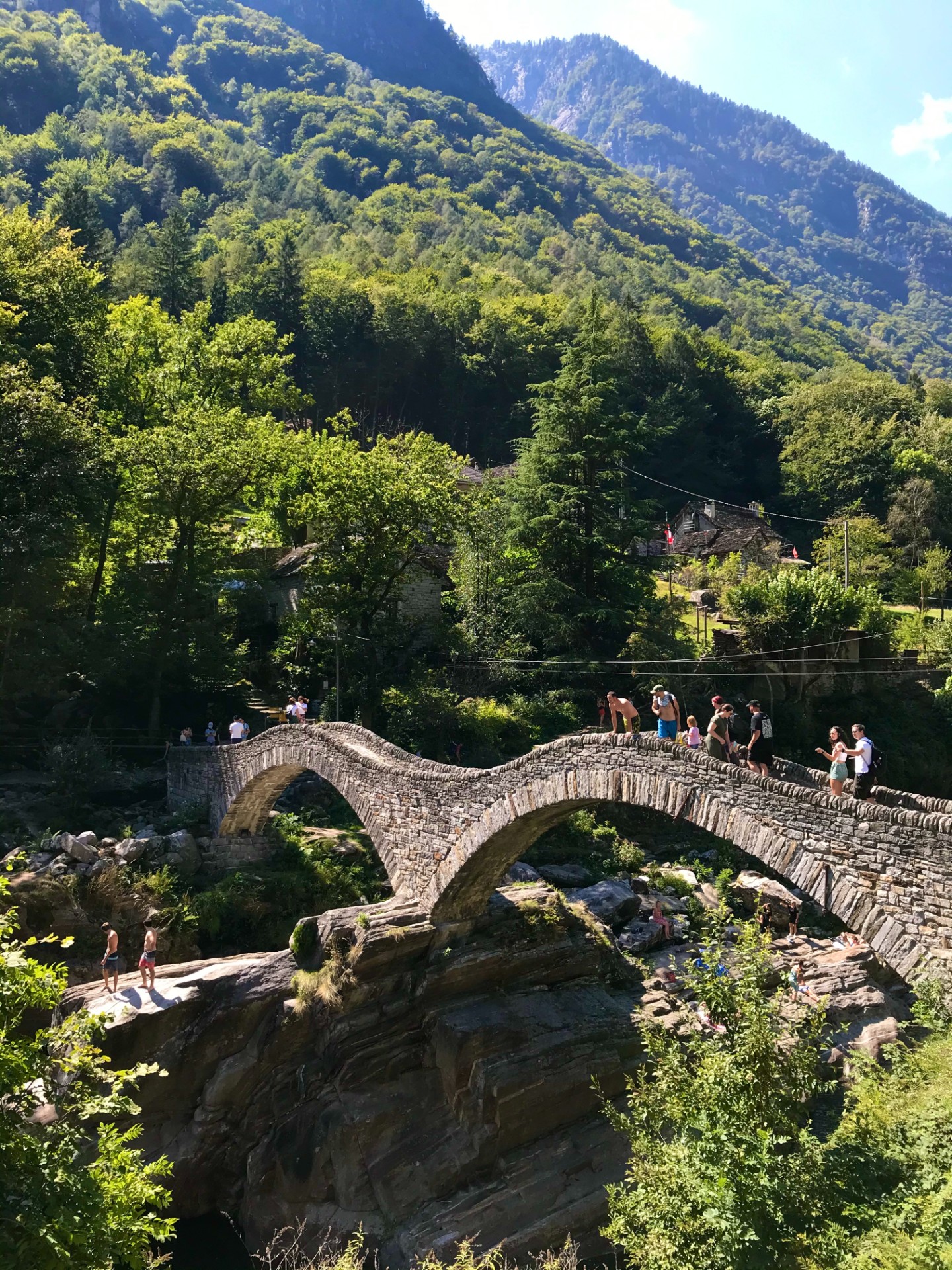
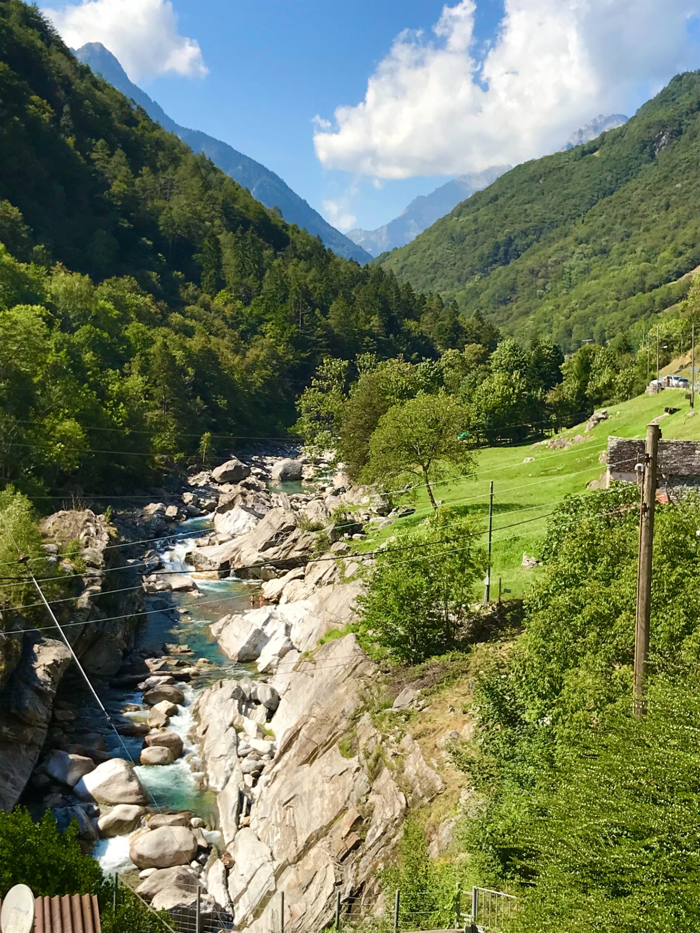
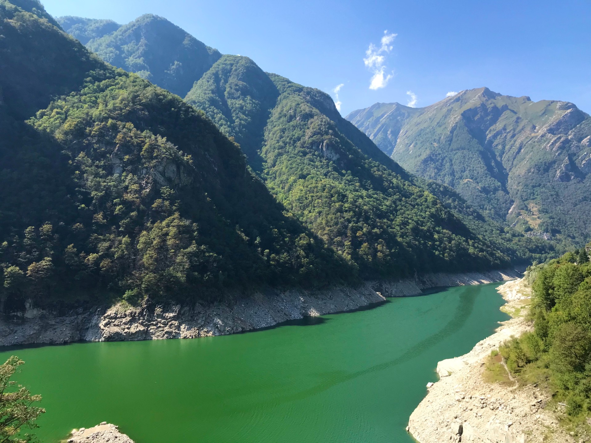
Trail: Valle Verzasca// Locarno//Ascona// Vineyards of Terreni Alla Maggia – 32 km
Elevation gain: 350m
Level: Easy
Time: 4-5 hours
Transport: Train + bike
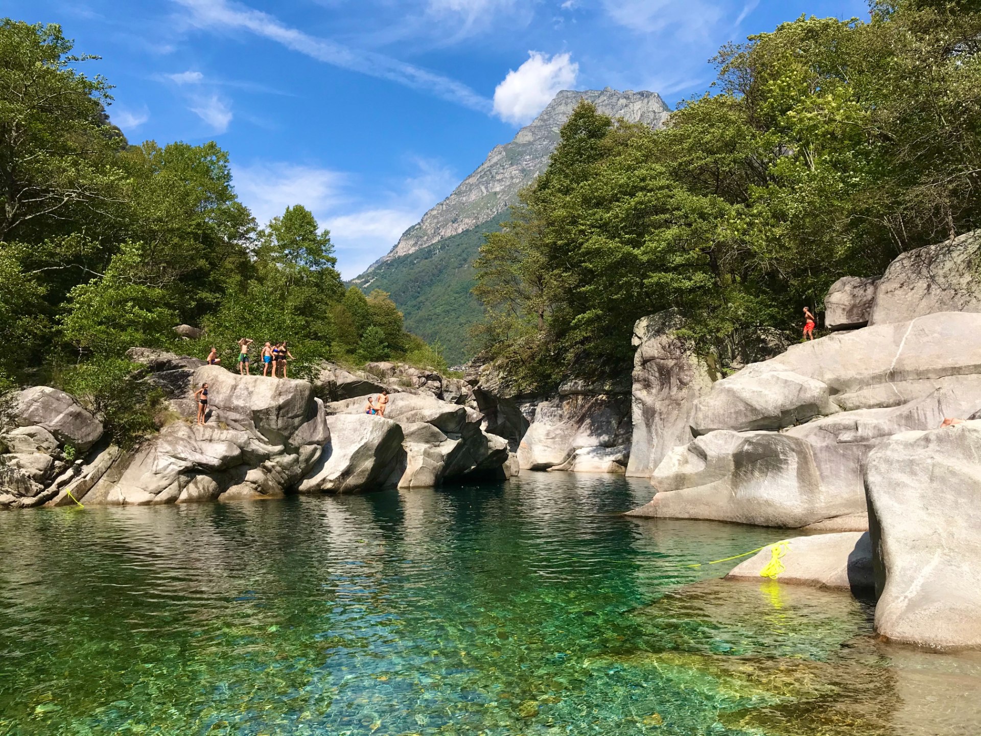
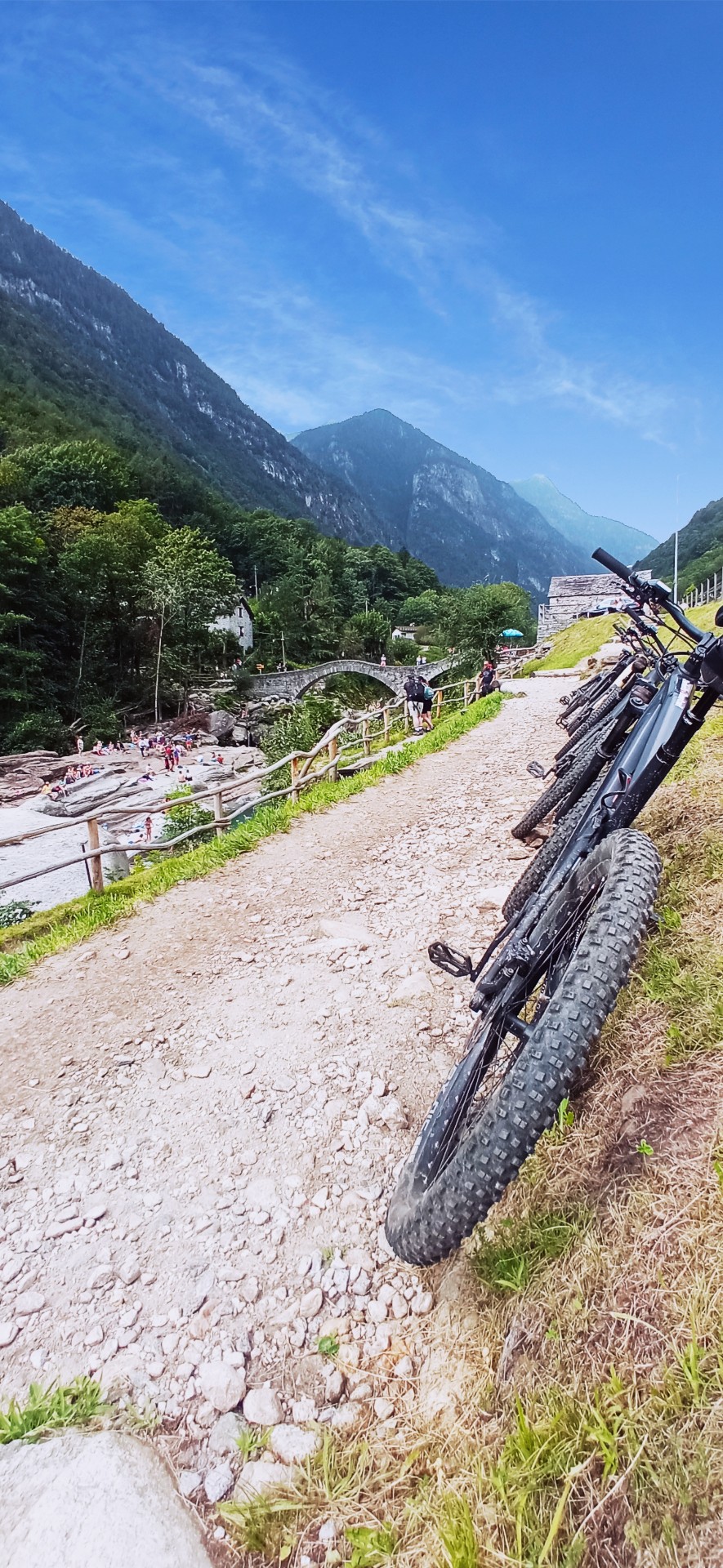
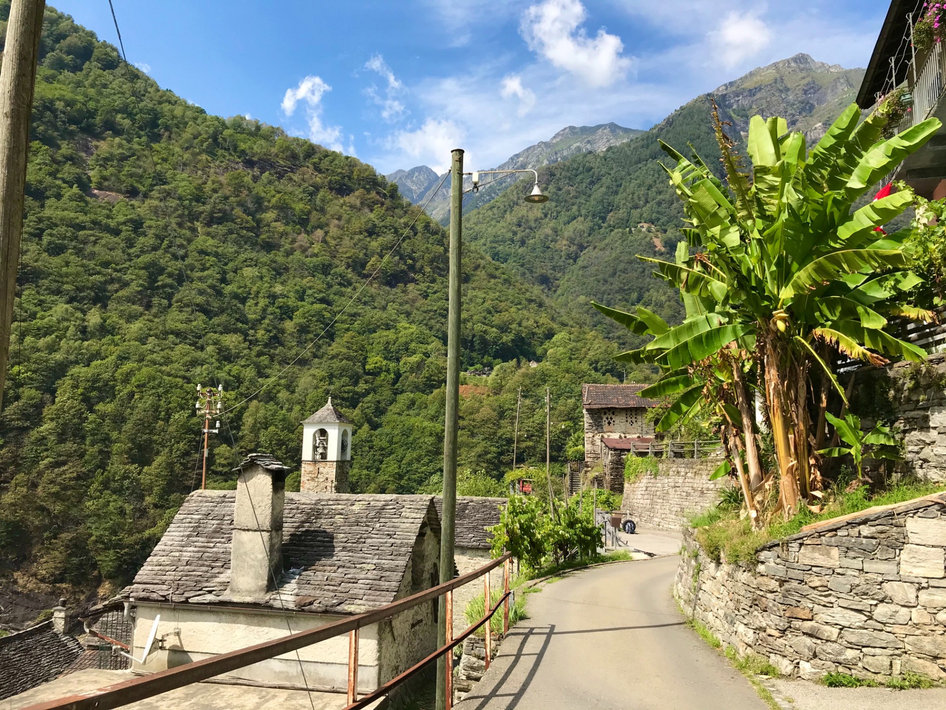
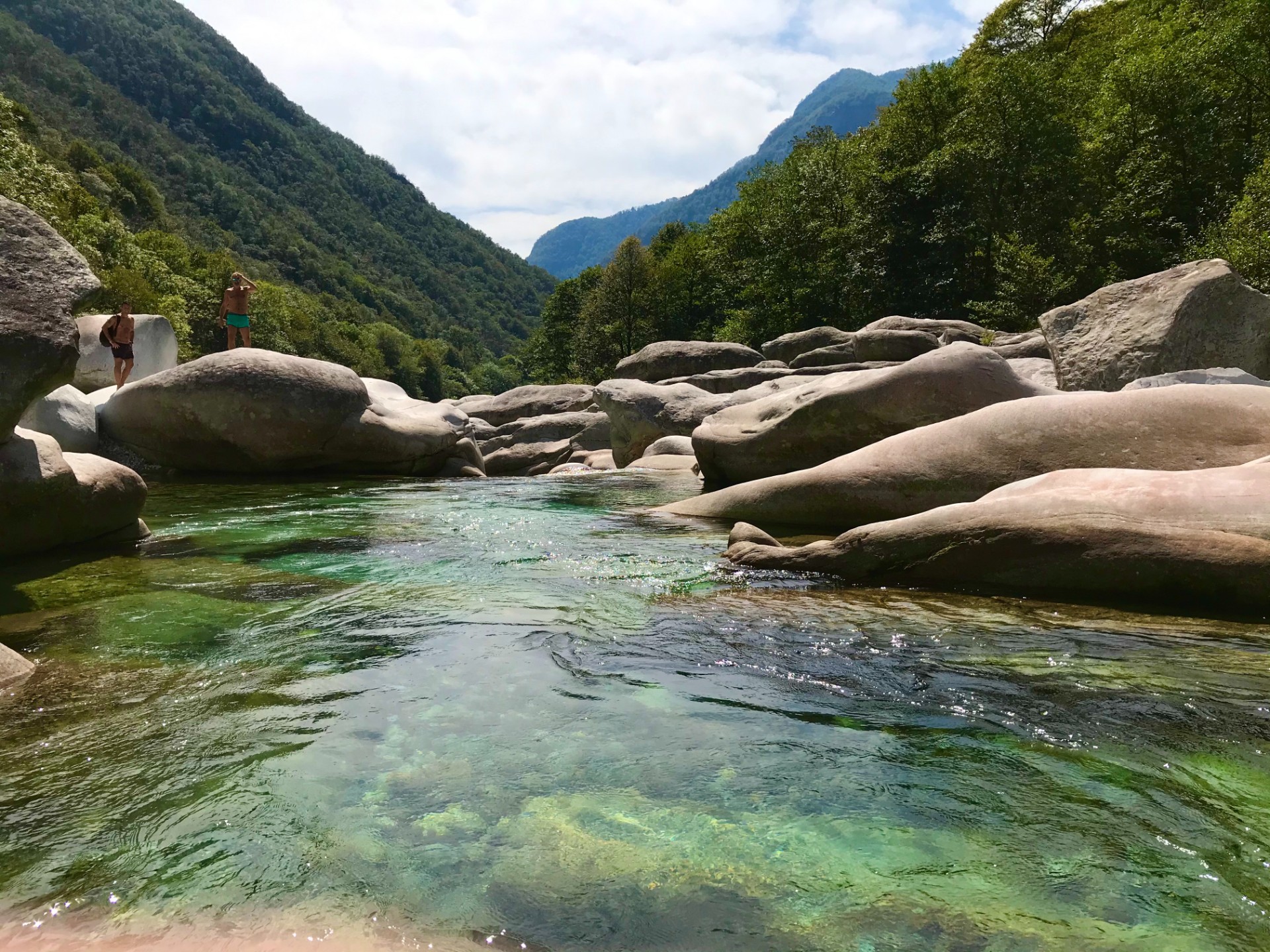
Valle Verzasca
We will go by train to Tenero – journey will take about 40 min. We will start our trip from the station climbing by serpentines above Laggo di Maggiore to reach the 220 m high Dam Contra – Verzasca Valley. For the adrenaline seekers there is a chance of bungy jumping – the highest in Europe (255 CHF).
Next we will ride through the valley on regular roads with the small inclination to small Lavertezzo town - passing along the way very old villages – with stone build houses, lovely narrow streets and tropical plants like palm trees but also even banana trees. However the main highlight of the trip will be crystal clear, azure Verzasca river with its huge white rocks making it a truly unique enjoyable place to spend time in. We will stop there for lunch and swim in the super refreshing mountain river. After that 12 km of downhill ride to Tenero we will go to Locarno – city at Lago di Maggiore.
There is a possibility of visiting vineyards Trenni Alla Maggia which apart from wine produce Grappa, Gin, Whisky, Cognac and craft beers. The owners also cultivate rice there - the only in Switzerland, they also have an apiary producing a variety of unique honeys like for example chestnut flavour. 2 h of guided tour and small food and drink degustation cost about 25-28 CHF. We will come back by train from Locarno station to Lugano. Journey will take about 50-60 min.
Trail 4
Trail: Monte Bar 45-55 km (nr 358 and nr 66) nr 359 and 357 option with no train
Elevation gain: 1355 m + 566m (optional return trail)
Level: Hard
Time: 6-7 hours
Transport: Train + bike
Monte Bar
We start at the hotel and ride by local roads to small town – Tesserete (10 km) then we continue to village Bidognio from where we finally go off-road. This is incredibly picturesque route due to the fact that most of it is located in vast open spaces above forest line. Our goal will be to reach the mountain hut – Capana Monte Bar located 1600 m above sea level. It is lovely place renovated in recent years with large sun terrace and magnificent views of Lugano region. We will stop there for the lunch break. There is also possibility of charging batteries of our e-bikes (at power points there) which might need it after this long climb. Next we will go along the side of the Monte Bar by super cool single track reaching forest from where we going to speed down all the way to the train station in Rivera – total of 15 km of great downhill ride. Then we will come back by train to Lugano-Paradiso – about 20-25 min of journey.
Trail 5
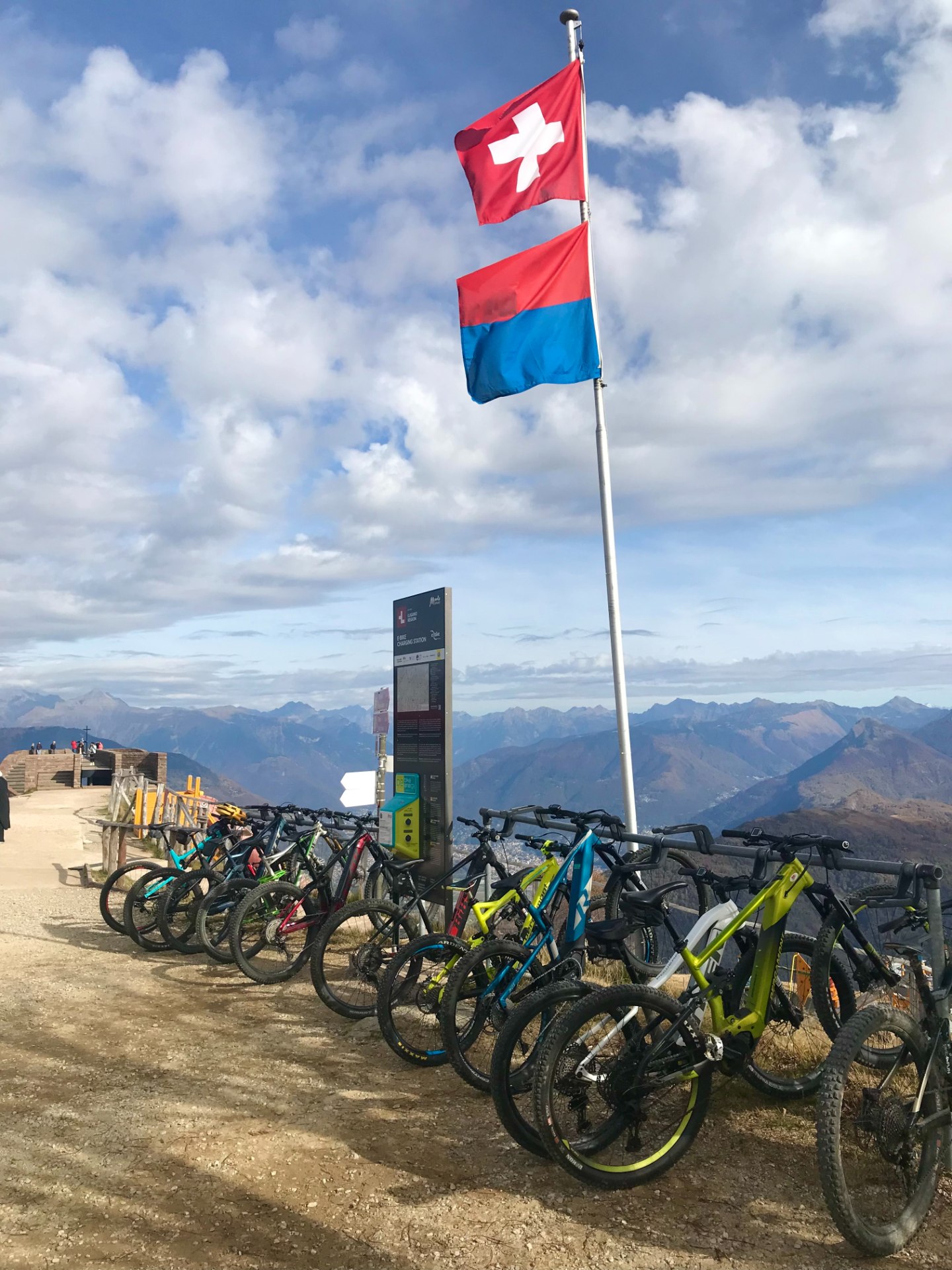
Trail: Monte Tamaro 45-50 km (no 66 – stage 3)
Elevation gain: 1408 m
Level: Hard
Time: 6-7 hours
Transport: Train + bike
Monte Tamaro
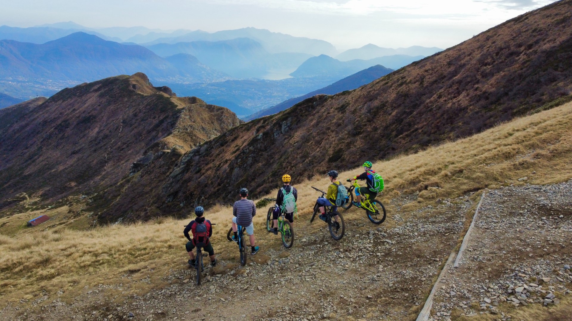
We will take train from Lugano to Rivera (20-25min). From there we will take cable car to Alle Foppa (19 CHF) or actually ride bike which will take around 45-60 min. Next stop on our way will be mountain hut – Capanna Tamaro – with fantastic views of Italian and Swiss Alps. After sweet bite and espresso we going to climb Monte Tamaro 1962 m above sea level. It is rather demanding route with quite a lot of rocky surfaces and in few places there is need of carrying the bike over few steps or stones. There will be long enjoyable downhill through Chestnut forest with many small beautiful villages where 'time stopped' and local people are very friendly and helpful.
We going to reach Casalano where there is opportunity to visit Alprose chocolate factory which takes between 1 and 2 h and costs just 5 CHF
Trail 6
Trail: Airlo (no 391) 21.3 km or/and 13.5 km Tremola Road
Elevation gain: 960 m
Level: Average
Time: 2 hours
Transport: Train + bike
Airolo
We will take train to Airolo which is about 1h 37 min (change in Bellinzona – 16 min transfer). Then by cable car we will reach Sassodella Bogggoa – 2066 m above sea level – from where we going to have magnificent views over Massive of St Gothard and famous Tremola Road. From the top station using awesome single track we will be passing many meadows and forests getting to cosy Chalet Ravina offering many yummy local specialities. Next we will go through village of Nante and after few min we will reach Airolo – the winter resort of Ticino Region.
There is also option of extending our trip by St Gothard Pass where we can get by legendary Tremola Road. (Additionall info)
After the whole exciting trip we can also visit Casieficio del Gottardo – the local cheese factory – cost of around 20 CHF. With the guidelines provided by those working there we can make our own Swiss cheese.
When it gets mature – after few weeks it will be shipped to our home address.
Trail 7
Trail: Cardada - 31 km (nr 397)
Elevation gain: 1450 m
Level: Medium/hard
Time: 2.5-3 hours
Transport: Train + bike
Cardada
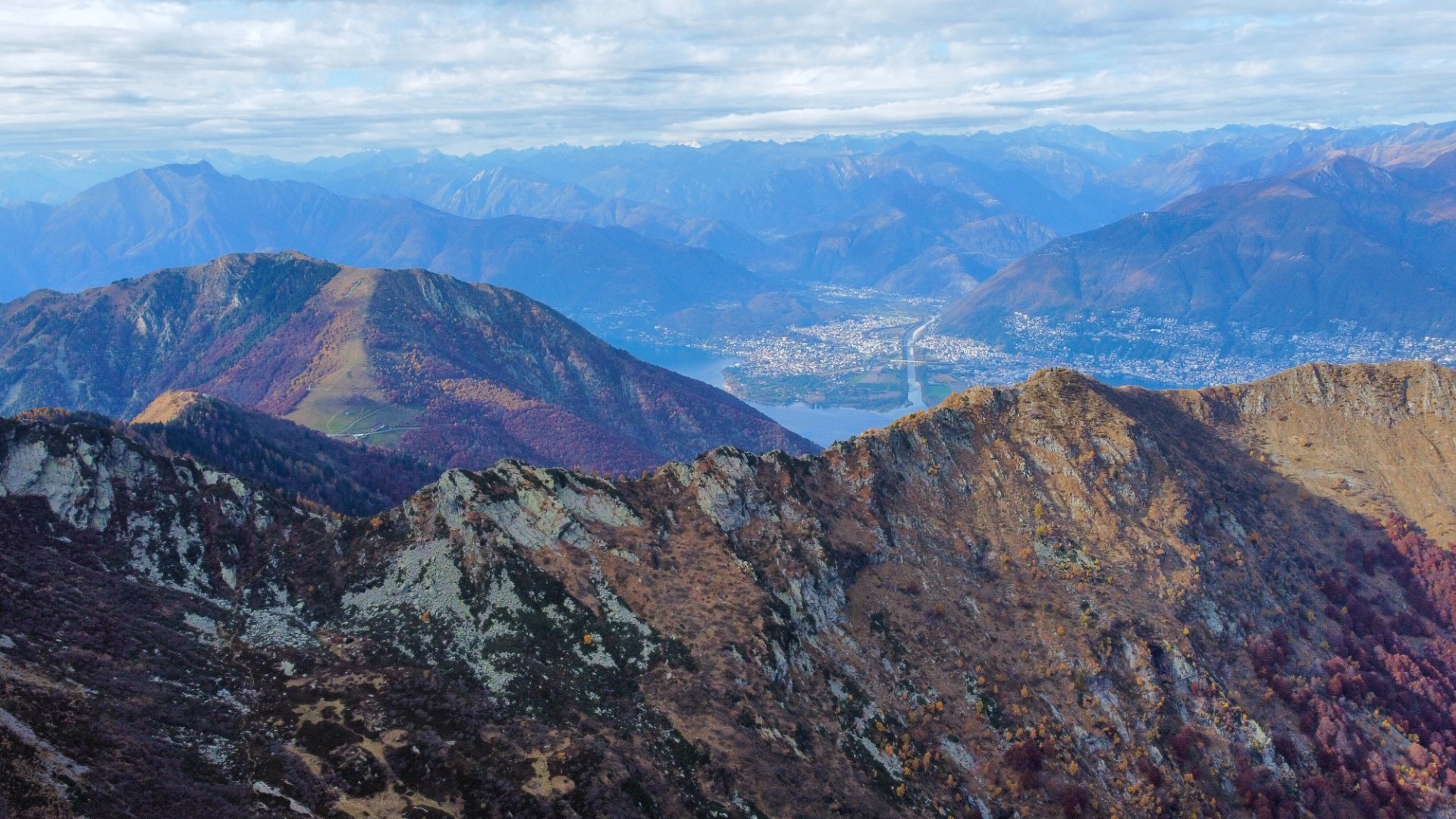
We will go by train to Locarno (journey of about 30 min). The first 5 min of trail leads through the city and then we will start ascent towards Cimetta mountain (1671 m above sea level). On the way we will be passing through many beautiful villages and most of the time we will have a fantastic view of LAgo Maggiore and summits of mountains.
After the 10th km we are going to complete the asphalt road and get into the forest's routes climbing into our destination of Capana Lo Stallone - a restaurant with also few rooms to stay overnight - where we can try some local yummy food. From this spot there are truly incredible views of both Swiss and Italian Alps and azzurre Lago Maggiore.
It is such a magical place that it is really difficult to jump back on the bike and leave all of it behind. However, the best is just ahead of us :) Fantastic - one of the most popular downhill trails in the region - Cardada- which will make the most demanding riders very happy:) In many parts of this trail there are berms allowing faster and smoother ride of the corners plus few so-called North Shores (wooden platforms).
The beginning of the trail is quite technical and demanding: loose stones and roots - however in later sections there is great flow and real fun. Very twisted downhill ride with serpentines lasting for 8 km through the forest before we can reach the first village at the end of it. Later on we are going to use asphalt road again passing through another lovely villages heading towards Locarno - ending our ride at the lake side which is perfect for swimming after such an adventure ;)
Trail 8
Trail: Alto Malcantone
Elevation gain: 2200 m
Level: Hard
Time: 5-7 hours
Transport: Bike
Alto Malcantone
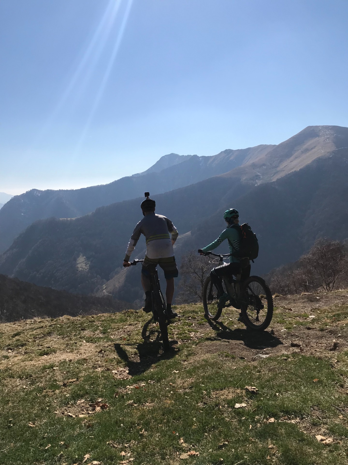
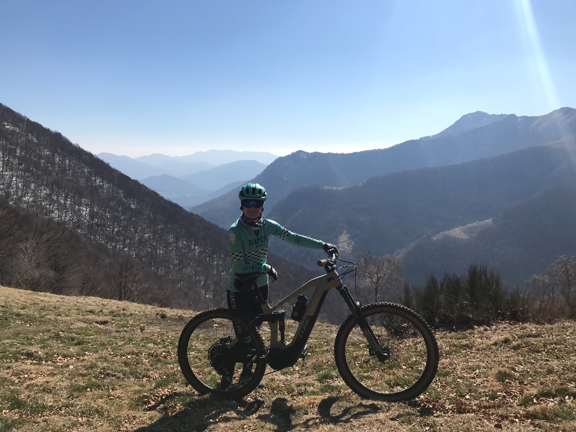
We are going from Lugano towards Magliasso where we will get into trail number 355. After covering a few kilometers of serpentines we will reach a forest above all villages where an incredible trail starts. We will stay on it for another 30 km:)
The initial stage of the trail is quite demanding and will require pushing bikes over roots or big rocks in a few places. However bikes have an option - 'walk' which helps a lot during pushing. Middle part of the trail is filled with long and fast downhill rides with stunning views of the mountains around us.
The region which we are going to explore is Alto Malcantone - very popular among local riders. From the small village of Arosio we will start another climb and on the way we can make a break at La Bassa meadow at 1367 m above sea level - which will take your breath away by the beauty which it offers.
Later we will continue towards Monte Tamaro at 1961 m above sea level. We will come back partially by the same road to Arosio and then through small villages to Agno from where we are going to use a bike path to get back to Lugano.